


 Temperature 270C (tropical hot climate) Date of creation 2010")
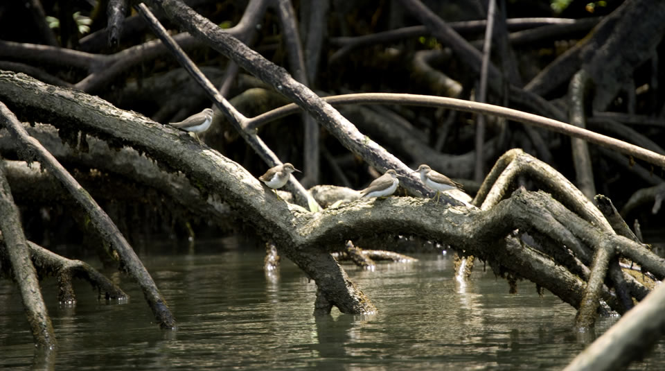
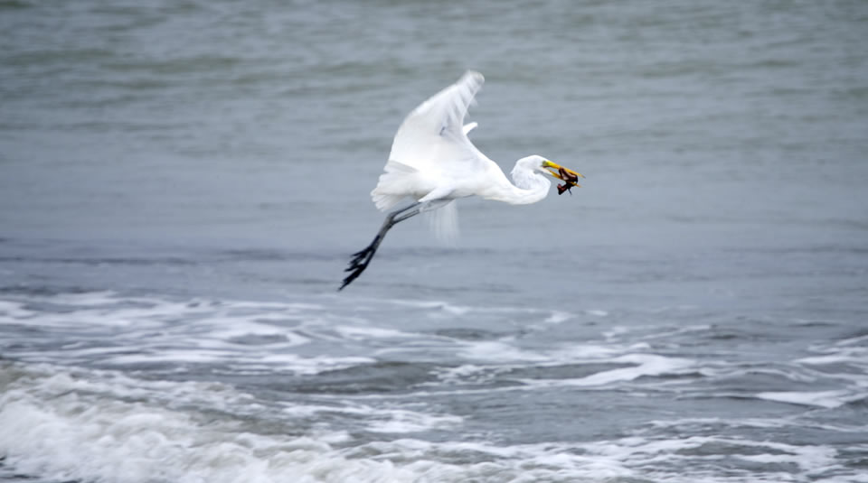
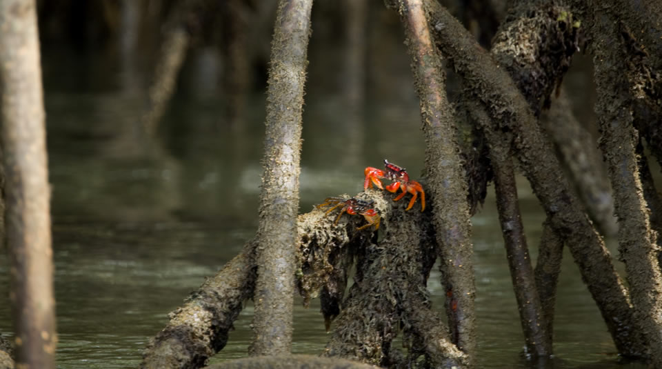
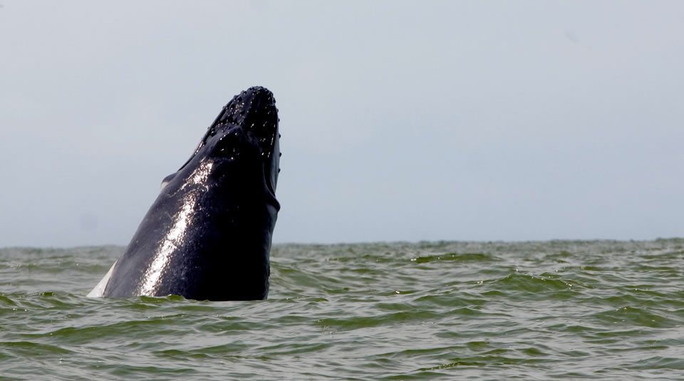
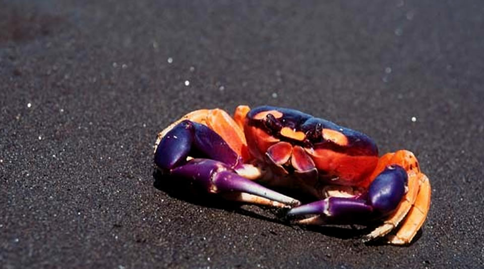
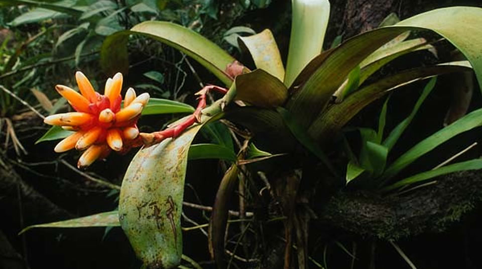
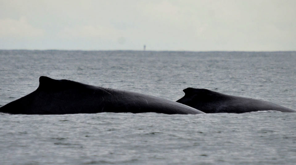
Uramba Bahia Malaga houses an immense variety of fauna and flora species, both continental and marine. This supports the theory stating that this is a Pleistocene refuge and includes the area in the nature conservation Hot Spot list worldwide. The bay is recognized around the world as a seasonal migration location for the humpback whale, Megaptera novaeangliae, which arrives at the warm and calm waters of the bay to raise its whale calves, and to reproduce. This protected area is the result of the coordinated labour of the Colombia Natural National Park System as an environmental authority, and the five community councils: La Plata-Bahia Malaga, Ladrilleros, Juanchaco, La Barra, and Puerto España-Miramar.
Uramba Bahia Malaga is located in the mid-section of the Colombian Pacific coast, within the Buenaventura municipality, in the Vallel del Cauca department. Pursuant to Resolution 1501 dated 4 August 2010, the area is declared protected in its 47094 hectares (equivalent to 137.34 square nautical miles.) Its area of influence is limited by the San Juan River to the north, the road access to the Bahia Malaga Naval Base to the east, the coast of the Pichido Ishtmus to the south, and the Territorial Sea to the west. In a regional scale, the park is part of the Conservation Corridor, along with the NNP Farallones de Cali and NNP Munchique. NNP Uramba Bahia Malaga is also part of the Conservation Mosaic of the Bahia Malaga region, working in the same scheme with other pars such as indigenous reservations, black community territories, the Integrated Management District (IMD) and the Sierpe Natural Regional Park (NRP), under the responsibility of the CVC (Regional Autonomous Corporation of the Valle del Cauca.)
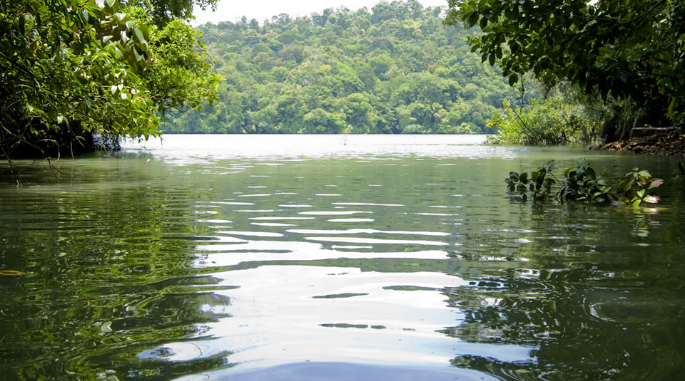
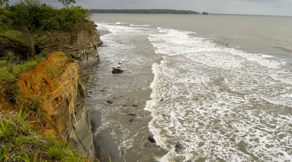
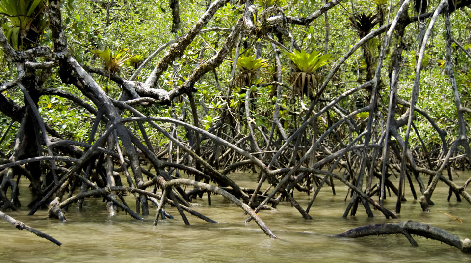
The geomorphology of the protected area features a border, in its furthermost sector, made up of relatively wide sandy beaches (Juanchaco, Ladrilleros, La Barra, and Puerto España-Miramar.) These were formed by the accumulation of continental sands transported by the rivers and cumulated on the Punta Norte due to the dynamics of the water in the area. These beaches are almost permanently exposed to strong wave action. The southern region and the central borders of the bay feature coastal borders constituted by tertiary formations of consolidated sediments, which gives the bay the appearance of a rocky coast covered by dense forests and large trees (Cenipacifico, 1986.)
Some regions near to the mouths of streams at the central section of the bay feature mud-flats. The higher parts of most of these have helped in the development of small underdeveloped mangrove associations, containing especially Rhizophora and Avicenia, which rest on mud-sand foundations, mud-rock foundations, and even rocky foundations. Other zones include narrower, higher level, beaches, made up of pebbles (Cenipacifico, 1986.)
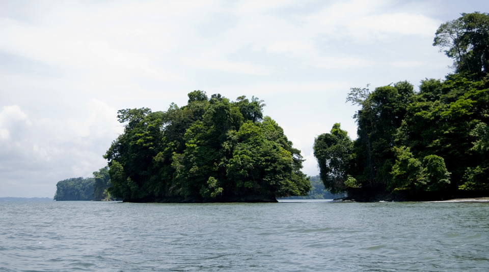
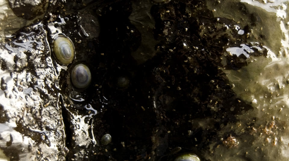
Many islets are found scattered around the bay, featuring the same type of geological formation of the coastal borders. Their closeness and the current dynamic suggest that these used to be coastal accidents which eventually separated due to marine erosion and bioerosion. These islets have rocky substrates with mud accumulation, which causes the borders to be intertidal muddy beaches, with large amounts of blocks, pebbles and rocks.
Special recommendations
- Visitors may wear sunscreen, insect repellent, comfortable and fresh clothing, a cap or a hat to shield themselves from the sun, and a waterproof coat.
If visitors wish to make one of the hikes along the paths in the zone of influence of the protected area, they require comfortable hiking shoes fit for tropical rainforest. Rubber boots are a good choice.
Recommendation: Have vaccinations against yellow fever and tetanus.
Para registrar sus Peticiones, Quejas, Reclamos y Sugerencias, por favor ingrese en el botón que se encuentra a continuación


