
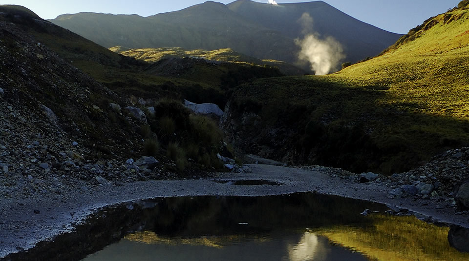
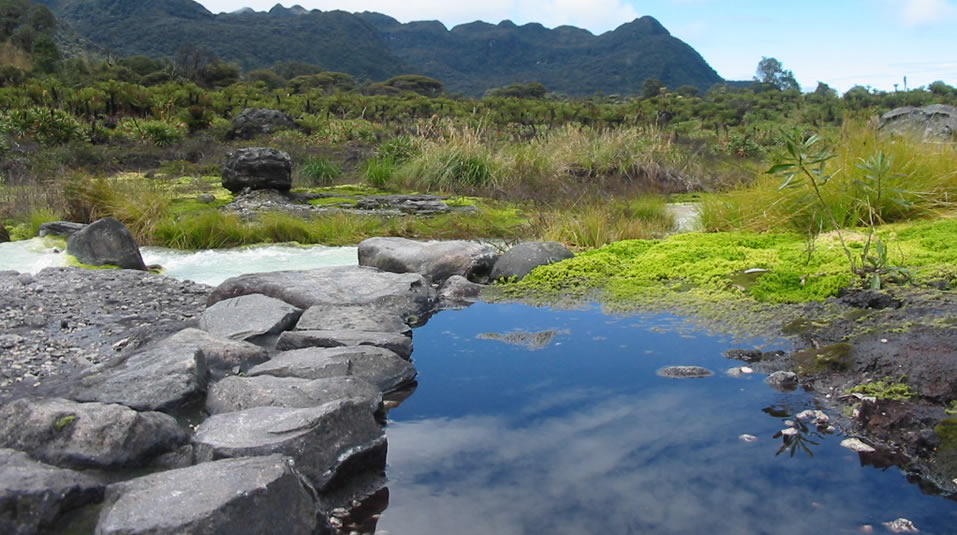
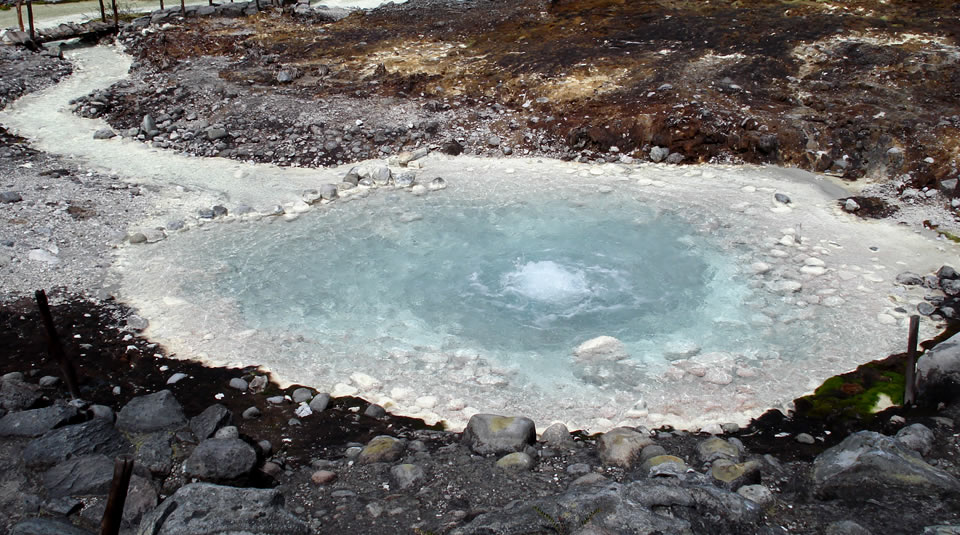
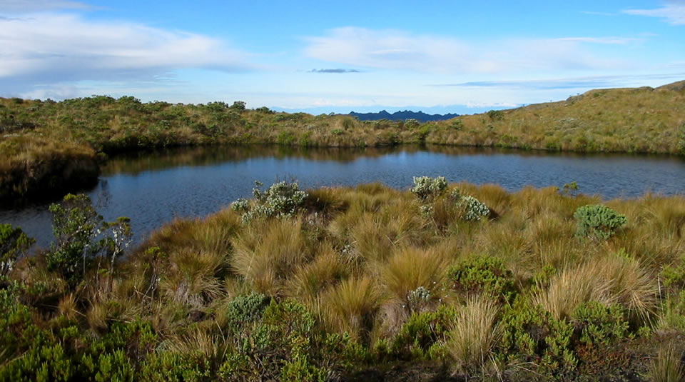
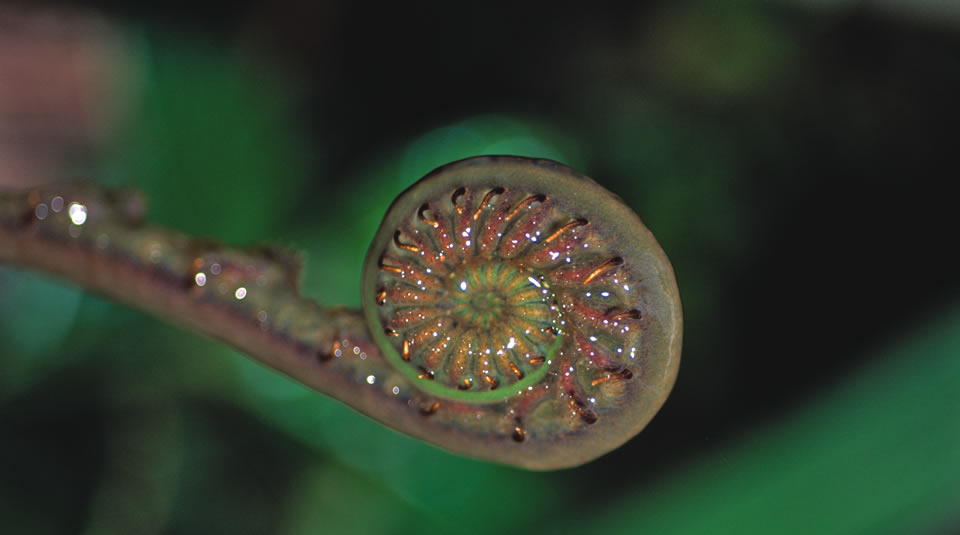
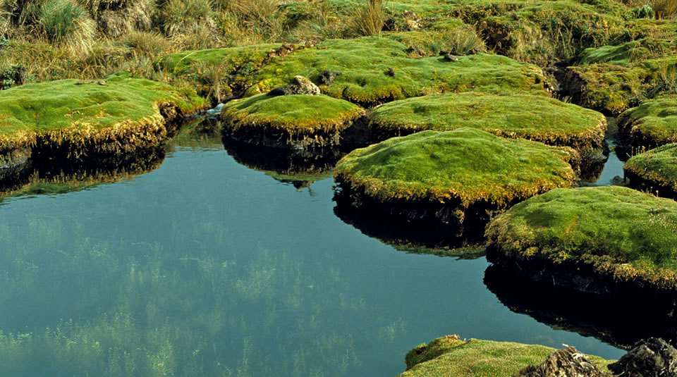
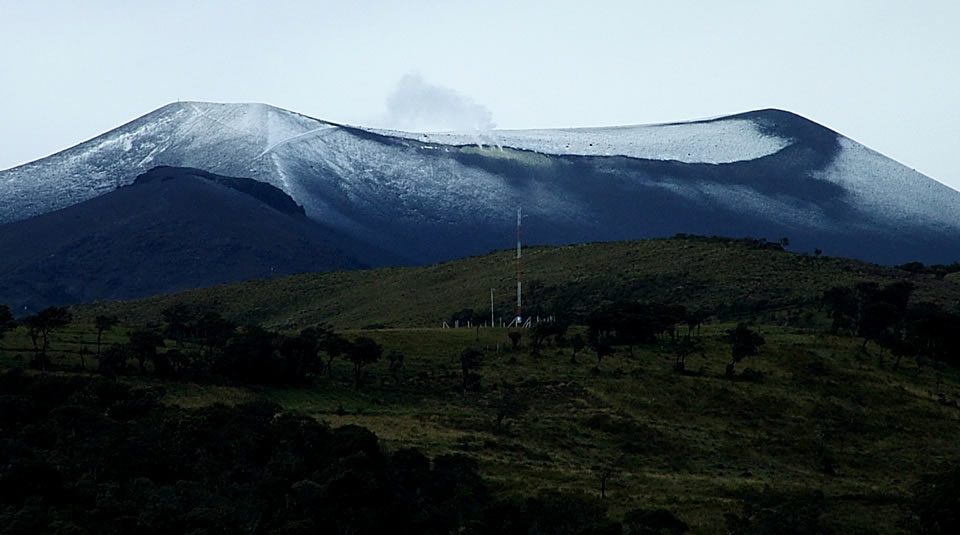
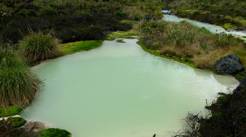
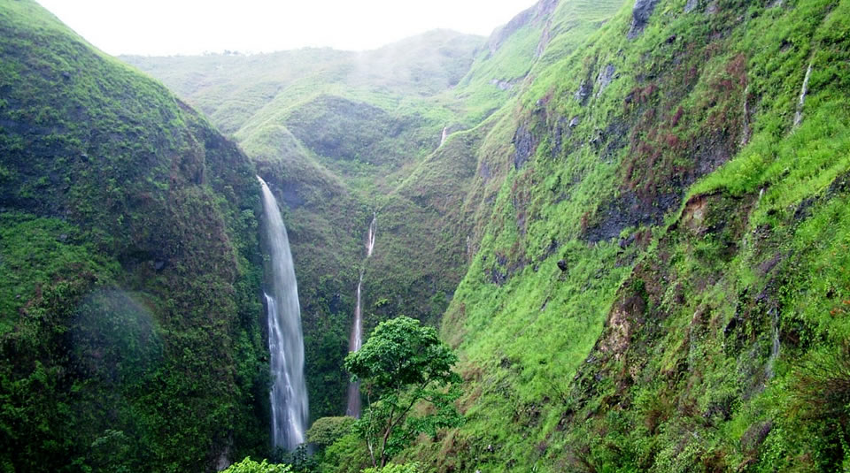


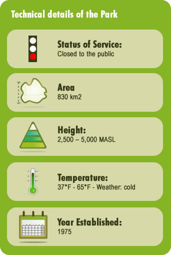
Declared Biosphere Reserve by UNESCO in 1979, Puracé National Natural Park is a volcanic zone as can be seen in its numerous sulfur springs and its name, which means “fire mountain” in Quechua. The main rivers of Colombia originate there: the Magdalena, Cauca, Patía and Caquetá rivers and also 30 clear and tranquil lagoons that are ideal for contemplation. As part of its stupendous landscape the volcanic complex of Los Coconucos, also known as Los Coconulos mountain range, stands out made up of 11 volcanoes. The most impressive of these are the Pan de Azúcar (5,000 MASL), Puracé (4,780 MASL) the only active one, and Coconuco (4,600 MASL). At the beginning of the 20th century all the mountain range was covered in snow; currently, not even the tallest peak, Pan de Azúcar, has snow. The indigenous people of the area say that the white man’s axe drove away “Jucas” the owner of snow and hail.
Para registrar sus Peticiones, Quejas, Reclamos y Sugerencias, por favor ingrese en el botón que se encuentra a continuación


